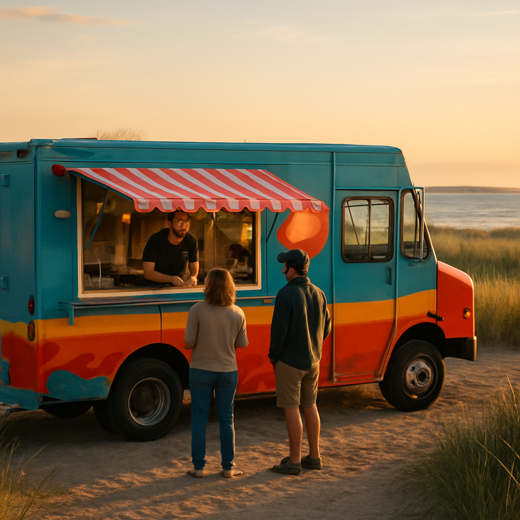
The Food Truck Map, Booking & Emergency Relief Network
Real-time nodal pins for independent culinary tradesmen — a free, un-blockable billboard that stays live on the terrain even when the cellular grid is dead. Book any truck directly for private events, weddings, and corporate catering.
2
Live Nodal Pins
1
On Ghost Mesh
1
Active Relief Nodes
3
Bookable Trucks
Book truck locations on public, commercial & residential property
Location owners publish recurring dates by county, select a fair rotation of trucks, and keep applicants in a date-specific backup queue when plans change.
Register a Truck
Create a signed-in operator profile, choose your home county, and apply for open schedule dates.
List a Location
Commercial and residential owners can apply. Public spaces require an authorized official and moderation.
Build the Rotation
Owners create dates, choose trucks, and manage the backup queue for every scheduled event.
Open location dates
Approved opportunities from counties across the United States.
Loading approved schedules...
Want to book a food truck for your event?
Booking works directly through each truck's listing below — select a truck from the map, then tap Book this truck for an event. If the truck you want isn't on the map yet, just ask them to sign up — it's free and takes 2 minutes.
Step 1
Find your truck on the map
Browse the live map or list below and tap the truck you want to hire.
Step 2
Tap “Book this truck”
Enter your event date, guest count, location, and contact info — booking confirmed instantly.
Truck not listed yet?
Ask them to sign up free
Share this link with your food truck — once they list, you can book them directly here.
Get listed freeReal-Time Nodal Pin Map
Trucks flash live in their exact physical parking space. Tap a pin for the verified menu billboard, health permit, and hours.
Automated Backup Queue
When a prime slot cancels — mechanical failure, spot lockout, no-show — the system automatically hoists the next truck in line. Zero administrative overhead. County-indexed so you see the exact Ground-Truth Commerce Density across the state.
Ground-Truth Commerce Density by County — Section 171
0
vendors
0
vendors
0
vendors
0
vendors
0
vendors
0
vendors
Active Booking Slots
How the Food Truck Layer Operates
A static address block can't track a truck that moves every day. The Dynamic Nodal Pin can.
1. Real-Time Nodal Pin
Using Section 117 Sub-GHz Mobile Mesh or local GPS, operators push one button to go live. Neighbors and tourists see a flashing pin in the truck's exact parking space with menu, hours, and verified health permit — a free, un-blockable billboard.
2. Mobile IDR Mitigation Surcharge
The On-Demand Telemetry Engine (Section 134) audits localized operating duration and applies a micro-fractional Mobile Infrastructure Surcharge via Stripe (Section 140). Compostable packaging or Cape Cod farm sourcing triggers Stewardship Credits that cut the fee to $0 (Section 106).
Emergency Services & Disaster Relief
RESILIENTDuring a disaster a food truck becomes a neighborhood lifeline. Cottage Trade subscribers carry the $2.50 SDR mesh chip, so they stay coordinated and compensated when Google Maps is entirely dead.
Offline Nodal Beacon
When the commercial cellular grid drops, trucks auto-switch to the Sub-GHz Ghost Mesh (Section 117, 146) and broadcast exact GPS to the private Vercel Pro admin map (Section 132) and local first responders — fully visible on the terrain.
Triage & Resource Station
Trucks charge devices, boil clean water, and serve hot meals to displaced neighbors, seniors, and DPW plow crews. Field scouts verify supplies through AR wearables (Snap Spectacles, Section 122) via Universal Optical Mesh barcodes (Section 82).
Stewardship Compensation
Every relief hour is logged to the Persistent Digital Ledger (Section 150). The IDR pool — funded by Stripe ACH from luxury developers who strained the grid (Section 127, 140) — auto-issues Stewardship Credits (Section 106) so the town fully reimburses food and fuel immediately.
Turn your truck into an emergency relief hub
Register your truck free and drop a live pin. When your corridor hits deployment density, add a mobile Baseline Device ($135) to become an un-jammable relief node during outages.