2
Active Clearings
1
Assigned Contracts
1
Completed Firebreaks
Geospatial Forestry Grid Pins
Crews are assigned specific grid-locked pins inside conservation boundaries and residential buffer zones. Tap a pin for the contract, crew, and biomass routing.
The "Fire-Moat" Funding Mechanism
Towns rarely have budget for full-time forestry crews. Section 148 Architectural Design Incentives turn developer impact debt into year-round clearing contracts.
1. The Funding
When a developer builds a resource-heavy McMansion that raises local fire and infrastructure risk, their IDR Impact Fees are collected through the live Stripe ACH gateway (Section 140, 148).
2. The Re-Allocation
Instead of sitting idle, the Civic platform routes those funds into the town's Wildfire Mitigation Pool, which issues immediate municipal clearing contracts to local landscaping companies.
3. The Grid-Locked Job
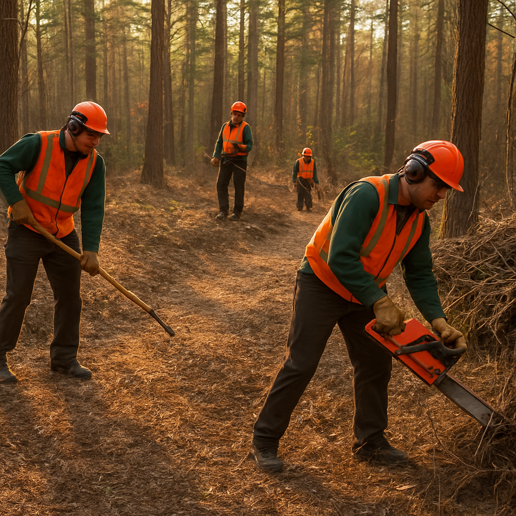
Crews are assigned geospatially-locked Forestry Grid Pins and paid a consistent, year-round rate to build firebreaks, clear dead fuel, and thin standing timber within conservation boundaries and residential buffer zones.
Clearing Underbrush Doesn't Just Stop Fires — It Recharges the Aquifer
Dense underbrush and invasive growth act as a thirsty canopy sponge: intercepting rain before it reaches the ground and pulling groundwater back into the sky through evapotranspiration. Clearing it while keeping old-growth trees intact lets rainwater drop straight into the vadose zone — measurably raising local aquifer recharge.
Before Clearing
Canopy interception and high evapotranspiration from invasive underbrush block most rainfall from ever reaching the water table — accelerating drought conditions.
Selective Clearing
Garrison Forestry crews remove the thirsty understory and swap water-hungry lawn for native ground cover — while leaving large old-growth trees standing.
After Clearing
Bare, breathable ground lets rainwater percolate directly into the aquifer — a measurable recharge gain tracked on the Water Stewardship dashboard.
Lawn-to-Ground-Cover Conversion: One Swap, Four Compounding Savings
Water
No more irrigation cycles — every gallon saved is a gallon left to recharge the aquifer instead of a lawn.
Fuel
Fewer mowing and trimming visits cut small-engine fuel burn across every converted parcel.
Traffic
Fewer landscaping trucks circling neighborhoods on a weekly mow cycle reduces local traffic load.
Employment
Savings don't disappear — they fund year-round hydrologic stewardship contracts instead of seasonal mowing.
Long-Term Hydrologic Employment
Beyond Wildfire SeasonAquifers replenished by clearing don't stay cleared on their own — regrowth has to be managed every season to keep recharge rates up. That turns a one-time wildfire mitigation contract into a recurring, grid-locked job: the same crews who cleared the firebreak get re-assigned as the town's permanent aquifer stewardship workforce, funded by the same water, fuel, and traffic savings the conversion created.
Year-Round
Recurring recharge-maintenance contracts replace one-off seasonal mowing work
Grid-Locked
Every parcel's recharge status is tracked alongside its clearing history on the forestry grid
Compounding
Every converted parcel adds to both the town's aquifer index and its permanent crew payroll
Upgrade from seasonal mowing to year-round forestry
Trade low-margin, water-guzzling lawn cycles for consistent, high-value municipal work routed straight to your crew through grid-locked pins.
The Biomass Circular Economy
SELF-SUSTAININGThe wood and underbrush cleared by crews never goes to waste. Material flow is tracked via the Universal Optical Mesh barcodes (Section 82) and routed straight back into the local economy.
Local Craftsmen & Sawmills
Cleared timber is routed directly to local small-business craftsmen and sawmill operators as low-cost raw material (Section 139).
Mulch-Processing Yards
Underbrush and chips are sent to local mulch-processing yards, closing the loop on cleared green material instead of trucking it out of town.
Developer-Funded Local Jobs
Large-footprint development impact fees fund local jobs, protect the town from catastrophic fire, and supply trades with low-cost raw materials — a self-sustaining loop.
History & Amateur Treasure Hunting of Cleared Land
New Tourism ValueWhen forestry crews clear land that has been overgrown for decades — or centuries — they expose the ground layer that historians, archaeologists, and amateur treasure hunters care about most. Cart paths, stone walls, cellar holes, property boundary markers, and colonial-era artifacts surface when dead fuel and invasive growth are removed. Folio-pin maps every cleared parcel, creating a permanent public record of what was uncovered, when, and where.
Heritage Corridor Mapping
Cleared firebreaks along colonial cart paths — like the Heritage Corridor off Depot Road — expose historic travel routes that predate modern roads. Every cleared segment is logged on the forestry grid as a heritage discovery pin.
Amateur Treasure Hunting Access
Cleared conservation land creates legal, mapped access for metal detectorists and amateur historians. Folio-pin issues temporary discovery permits tied to specific grid pins — creating a new revenue stream for towns.
Local Tourism Value
Stone walls, cellar holes, and colonial boundary markers become walkable heritage sites once cleared. Day-trippers, history clubs, and school groups pay for guided access — new tourism dollars that didn't exist before the clearing.
The folio-pin forestry grid permanently records every cleared parcel with GPS coordinates, crew name, clearing date, and any heritage features surfaced during the work — creating a living archaeological index of the Cape's land history.
Time Capsule Mapping — The Next 250 Years
Thinking ForwardEvery forestry clearing creates a moment in time that will matter to someone 50, 100, or 250 years from now. Folio-pin's geospatial grid is designed to hold that record permanently — not just as a contract document, but as a time capsule layer. Property owners, crews, and municipalities can attach notes, photographs, recovered artifacts, and land condition data to a cleared parcel pin that will outlast any of us.
Cleared Land Capsules
When a crew completes a clearing, they can seal a time capsule record on that pin — photos of what was found, condition of the land, heritage features exposed, biomass routed. Future generations open the record and see what this land looked like in 2025.
Scheduled Unlock Dates
Capsules can be set to open in 25, 50, or 100 years. A town can seal a record of its first IDR-funded firebreak and schedule it to unlock on the 300th anniversary of the town's founding.
Next-Generation Land Stewardship
The child who grows up watching a crew clear a stone wall on Depot Road can access that same pin 40 years later and continue the stewardship record — adding their own clearing, their own notes, their own discovered artifacts.
The 250-Year Forest Index
Every cleared parcel today is a data point in a 250-year forest health index. When the Cape faces its next major fire event — in 2075 or 2175 — the grid shows exactly which parcels were cleared, when, and how the forest recovered.
The folio-pin forestry grid is not just a job dispatch system. It is the beginning of a permanent land memory — the first layer of a geospatial record that will compound in value for the next 250 years.
Landscaping reframed as skilled ecological work.
The framework treats landscaping as native habitat restoration and forestry, not lawn trimming. The largest unrealized demand is for certified, technical roles rather than general labor.
- Certified arborists
- Urban foresters
- Native-habitat restoration crews
- Wildlife habitat managers
Depends on municipal and property-owner adoption of lawn conversion.
Directional projection only. No jobs have been counted yet, and no wage or headcount figures are promised.